The Leader West African
of solutions solutions
High-precision aerial mapping, thermal inspection and professional drone solutions for West Africa.
 Ground
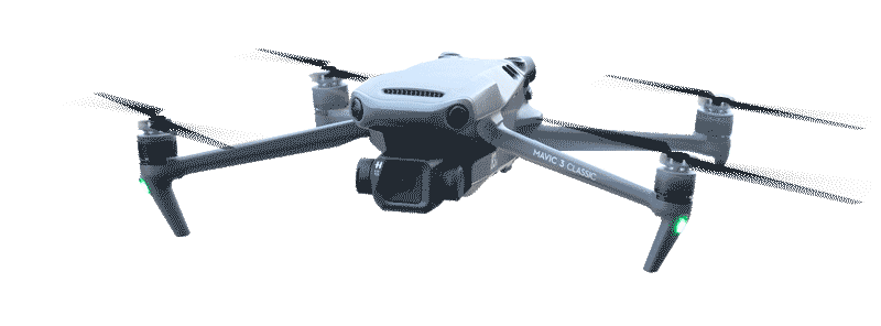
 4K & Thermal Cameras
.jpeg) RTK/PPK Precision
RTK/PPK Precision
 Map
Map
Who we are
Welcome to Drone Africa Service
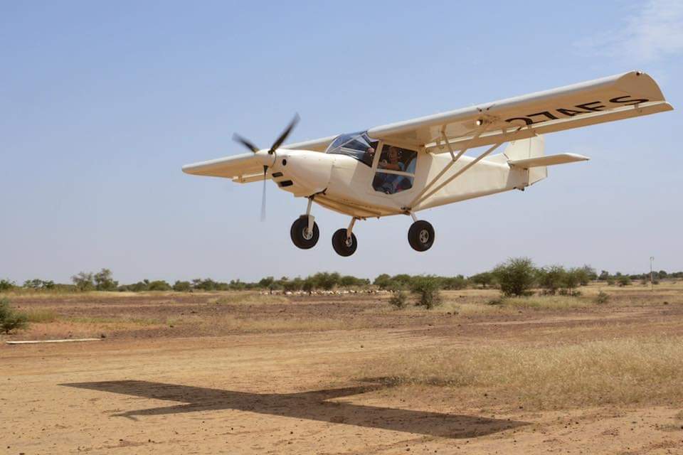
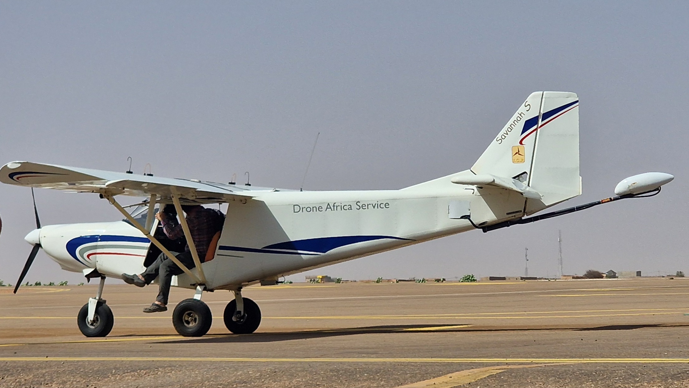
Based in Niamey, Niger, Drone Africa Service is West Africa's leader in professional drone and ULM solutions. We support large-scale projects: high-precision mapping, industrial inspection, secure surveillance and certified training.
Learn moreAerial mapping
Up to 12,300 ha mapped in a single ULM mission. Centimetre accuracy, turnkey GIS deliverables.
- Orthophotos & high-res DTM
- ArcGIS / QGIS compatible
- Technical report included
Technical inspection
Solar farms, power lines, mines — zero-downtime inspection with detailed reports delivered within 48h.
- Infrared thermography
- Real-time fault detection
- Zero production stoppage
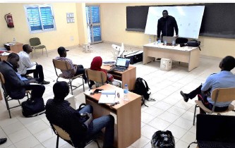
Pilot training
Intensive theoretical and practical training. Earn your remote pilot licence in full regulatory compliance.
- 4 certified modules
- Flight simulator included
- Post-training support
Our projects
Field operations
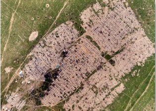
Refugee Camp Census
Aerial mapping and automated counting of structures in Diffa refugee camps.
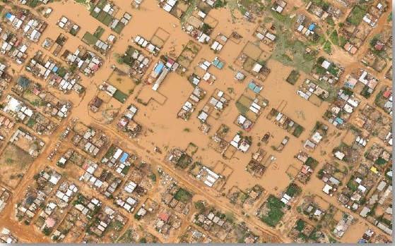
Flood Mapping Niamey
Complete mapping of flooded areas in less than 48h to guide rescue efforts.
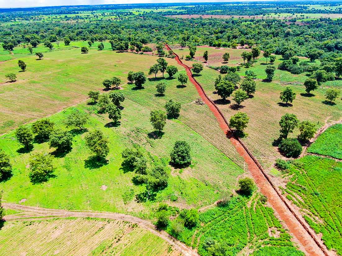
Automated Tree Counting
Aerial analysis and precise tree counting in reforestation areas in Niger.
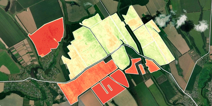
NDVI & Precision Agriculture Indices
Multispectral mapping for optimization of agricultural yields in Niger.
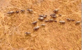
Wildlife Census
Aerial counting of elephant populations in W National Park.
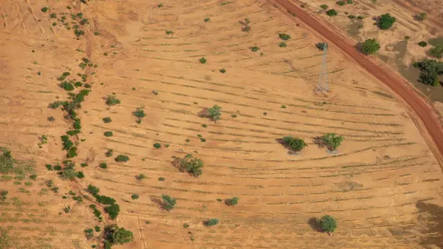
Goun Kouré Desertification Monitoring
Multitemporal mapping for monitoring desert advancement and combating desertification.