Aerial ULM Mapping
Large areas, centimetric precision — exclusive Intellipod technology
Our solution
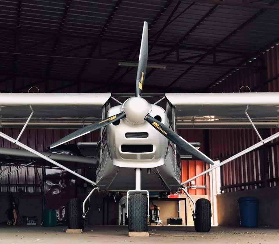
What is a ULM?
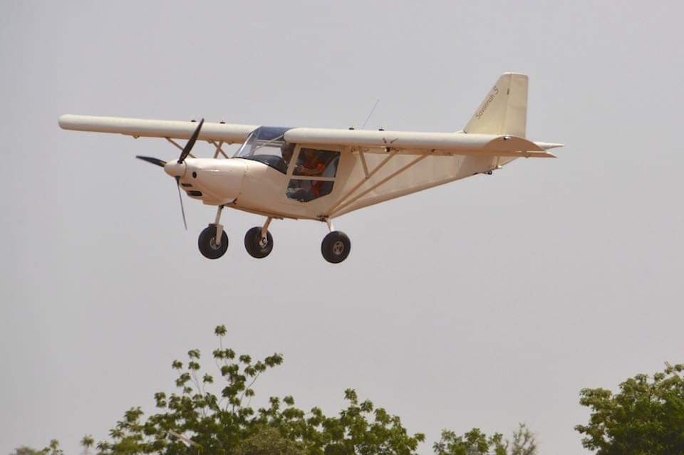
An Ultra-Light Motorized Aircraft (ULM) is a two-seat aircraft with a maximum take-off weight of less than 450 kg. Its lightness and versatility make it the tool of choice for large-area mapping missions.
Drone Africa Service operates its ULMs from short 200 m runways, with flight endurance of 4 to 8 hours and a cruise speed of 150 km/h. Imagery is captured from up to 3,000 m altitude, covering areas inaccessible to conventional drones.
Request a quote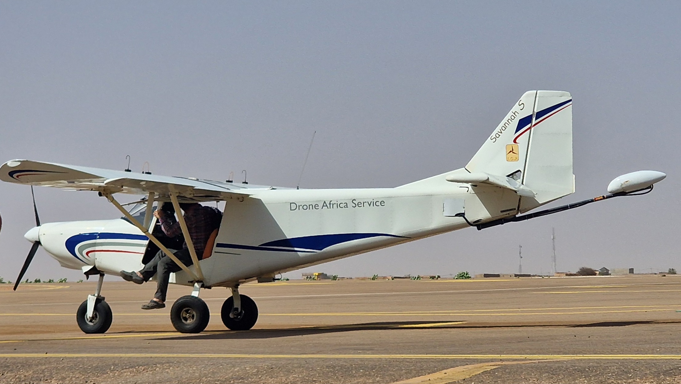

4–8 h
Flight endurance
150 km/h
Cruise speed
3 000 m
Maximum altitude
200 m
Takeoff runway
Which tool to choose?
ULM vs Drone
ULM
Large areas- Areas > 3,000 hectares
- Speed 150–175 km/h
- Heavy sensors (metric cameras, LiDAR)
- Endurance 4 to 8 hours
- Altitude up to 3,000 m
- Risk and disaster management
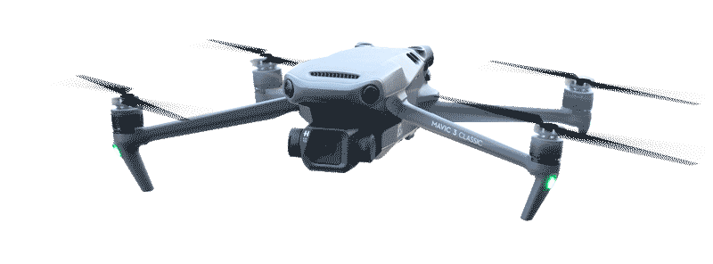
Drone
Medium areas- Areas < 1,000 hectares
- Precise hovering
- Vertical take-off, no runway
- Endurance 45 min – 2 h
- RGB, thermal, multispectral sensors
- RTK centimetric precision
Local innovation
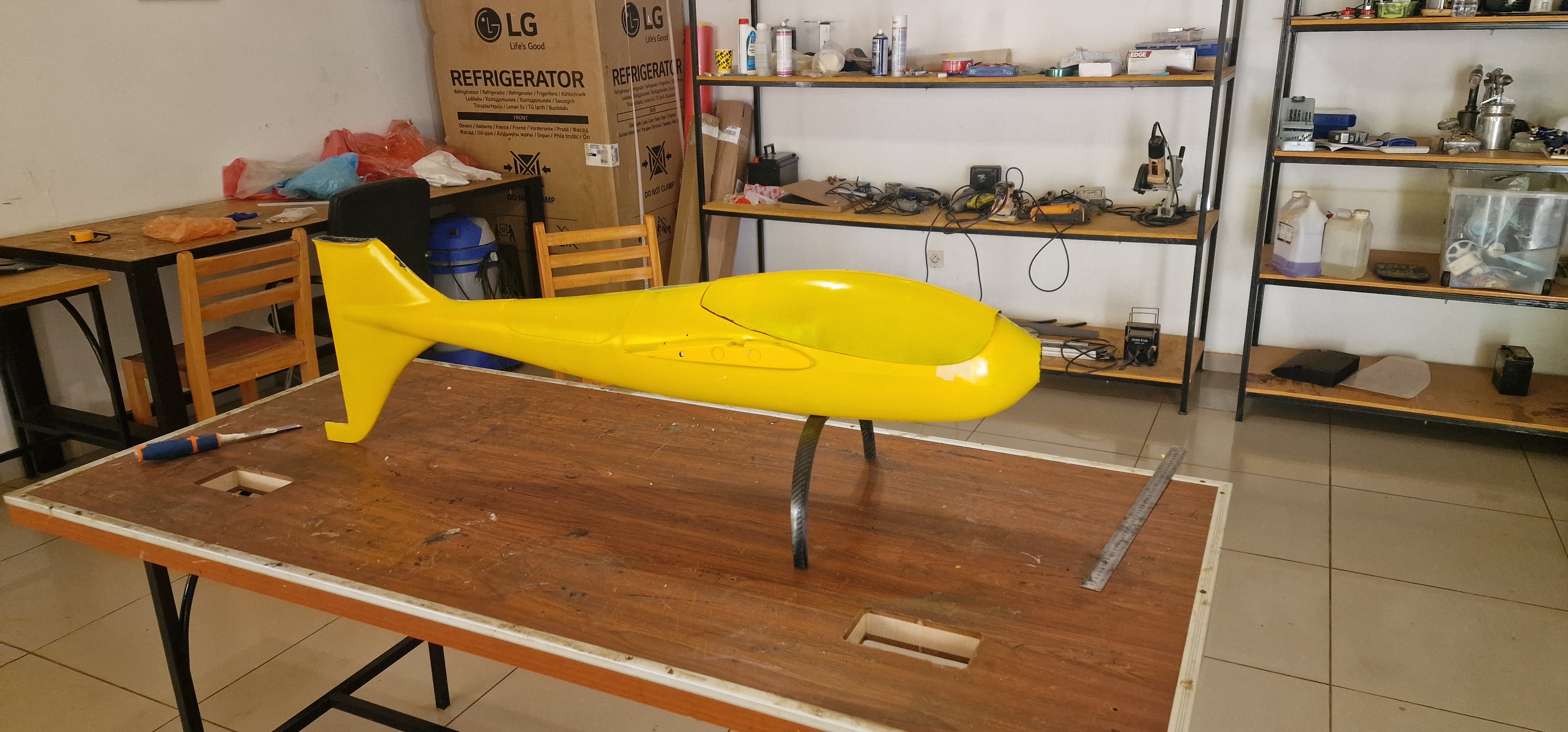
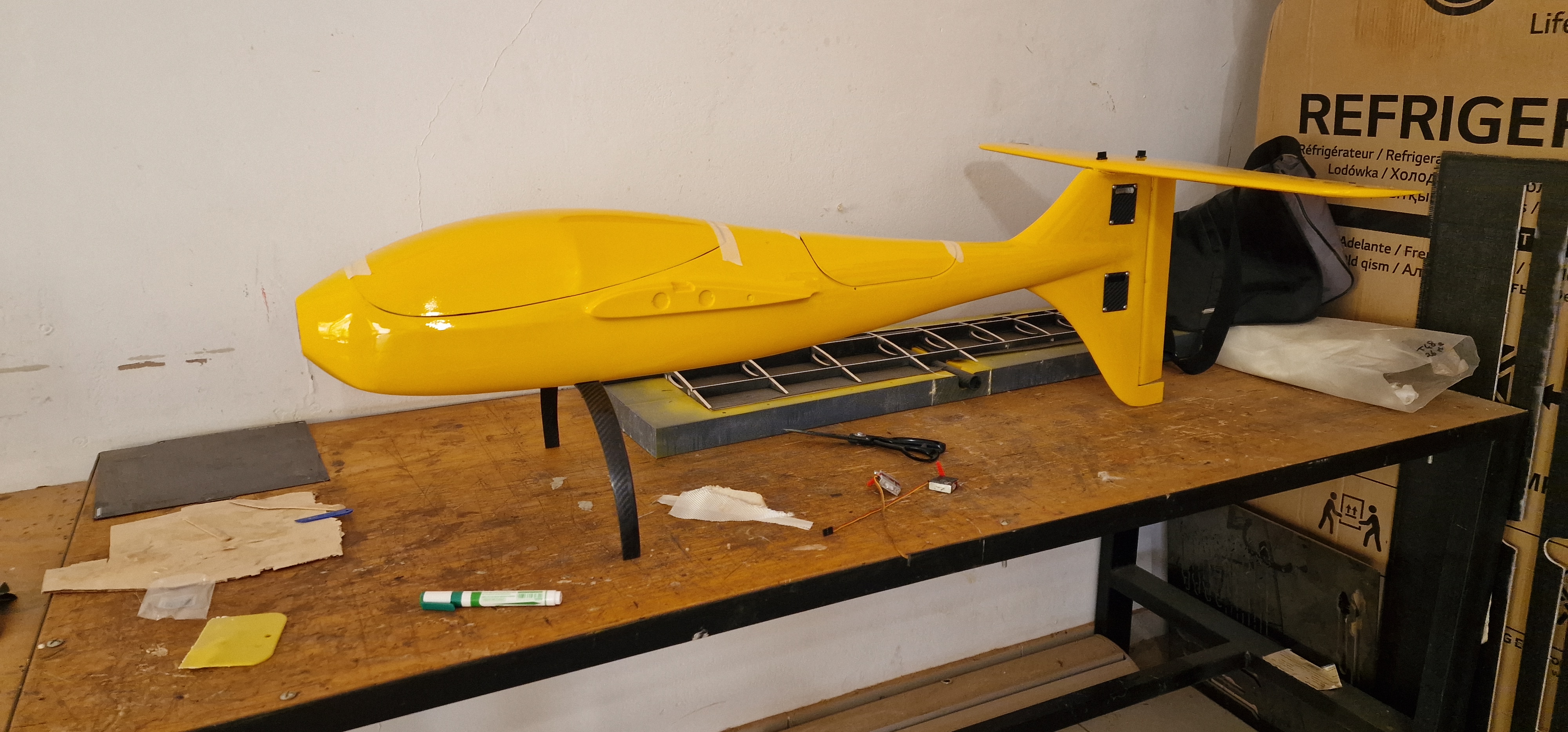
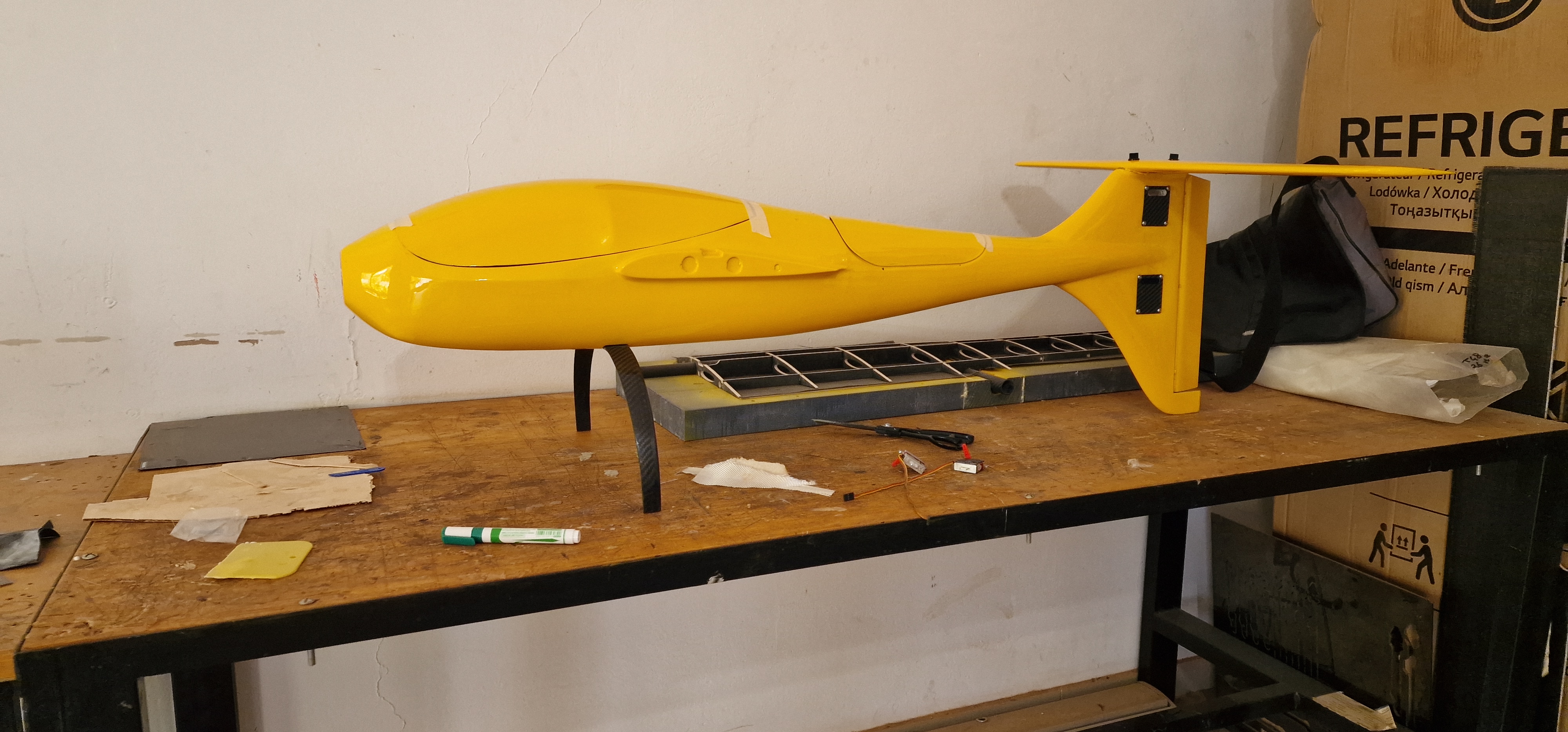
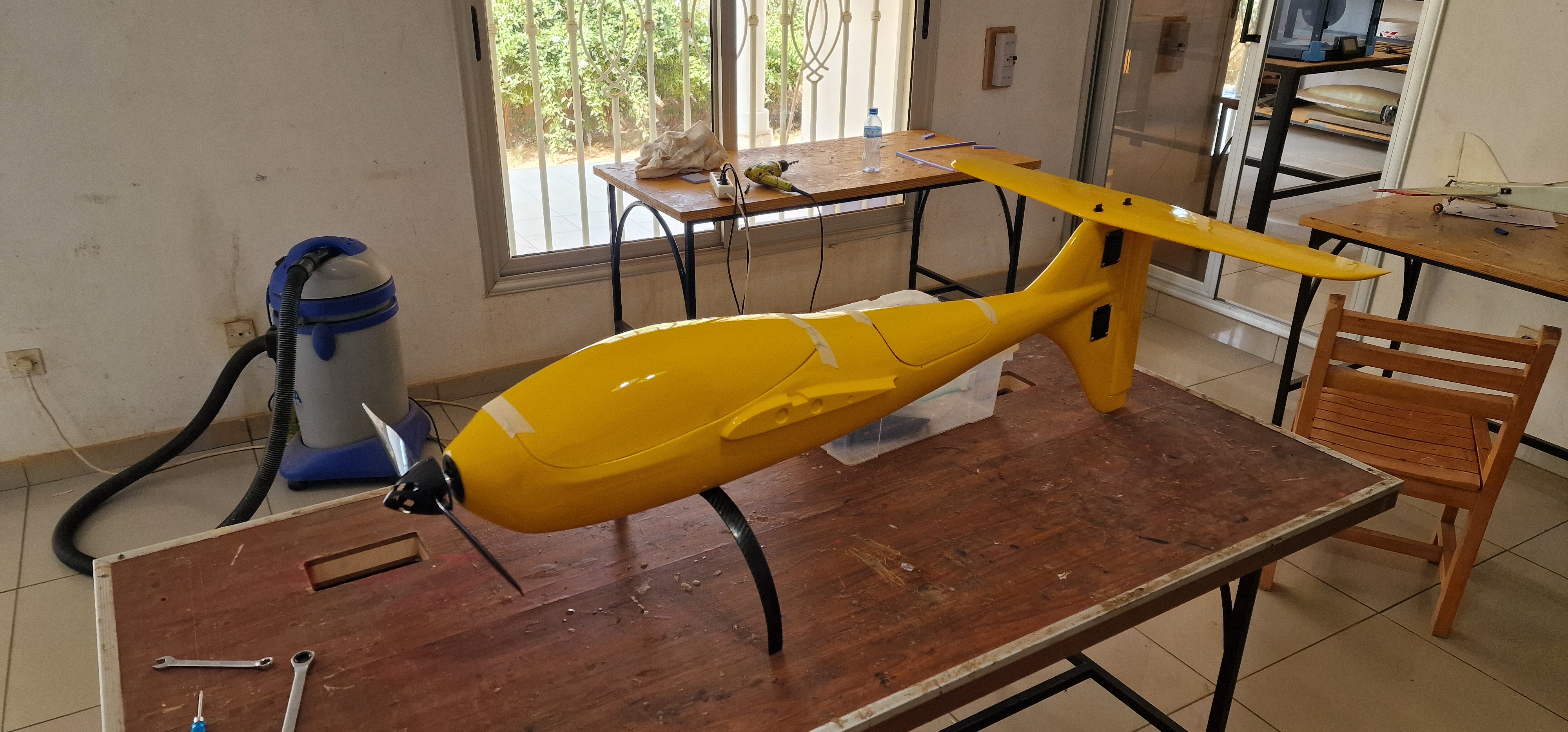
The Intellipod technology
The Intellipod is an aerial sensing technology designed and developed by Drone Africa Service. This sensor pod attaches directly to the ULM to transform the aircraft into a high-precision mapping platform.
It integrates metrically calibrated large-format cameras for producing georeferenced orthophotos, digital terrain models (DTM) and surface models (DSM) compatible with all professional GIS software.
Reference — Niamey, 2018
Mapping of 12,300 hectares around Niamey in a single ULM mission equipped with the Intellipod — 7,000 images captured, complete GIS deliverables produced in 72h.
Technical
ULM Specifications
Endurance4 – 8 h
Maximum coverage in one mission, suited for large areasCruise speed150 km/h
Optimized for efficient long-distance mappingMax altitude3 000 m
High-altitude aerial imagery, hard-to-reach areasRunway200 m
Two-seater, MTOW < 450 kg — operable on rough stripsCrewPilot + operator
Certified ULM pilot + Intellipod sensor operator on boardComplianceANAC · ICAO
Approved flight plans, civil liability insurance includedUse cases
Fields of application
Topographic mapping
Precise surveys over tens of thousands of hectares — cadastre, land planning, urban development.
Risk management
Post-disaster assessment, flood-prone areas, emergency mapping of humanitarian crises.
Agriculture & forests
Crop monitoring, forest inventory, water management — large-scale farming.
Mining & infrastructure
Volumetric monitoring of open-pit mines, surveillance of transport corridors and pipelines.
Missions terrain
What is a ULM? en action
.jpeg)
.jpeg)
.jpeg)
.jpeg)
Take action
A large-scale project?
Contact our team for a free feasibility study. We operate in 5 ECOWAS countries.
Contact us See also drone mapping