Training
Drone Africa Service
Training a new generation of professionals able to fly, collect and exploit high-precision geospatial data.
Training objectives
Developing local skills to meet Africa's technological challenges.
Fly safely
Master flight techniques and current regulations.
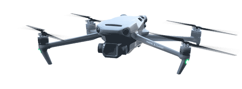
Collect data
Acquire high-precision field data with professional drones.
Analyze data
Exploit geospatial data with professional GIS tools.
Our training programs
Training designed by field experts for high-demand occupations.
Drone piloting
Basic & Advanced
- Drone handling
- Flight techniques & safety
- Regulations & best practices
- Real field missions
Mapping & GIS
Geographic Information Systems
- Introduction to GIS
- Data collection by drone
- Processing & analysis
- Professional map production
Photogrammetry
Analysis & Modeling
- Photogrammetry
- 2D / 3D modeling
- Field interpretation
- Specialized tools
Business applications
Specialized sectors
- Precision agriculture
- Environmental monitoring
- Infrastructure management
- Humanitarian & NGO projects
How we teach
A progressive methodology combining theory, practice and fieldwork.
Theory courses
Key concepts, regulations, flight physics and geomatics structured in modules.
Practical workshops
Drone handling, GIS software and processing tools in real conditions.
Field missions
Real outings on varied sites for concrete professional experience.
Case studies
Analysis of real projects conducted by Drone Africa Service in Niger and Africa.
Who are our trainings for?
Our programs are open to all profiles wishing to enter the professional drone sector.
Students
Young graduates wishing to enter a high-potential future technology sector.
Professionals
Employees in career transition or seeking specialization to broaden skills.
Institutions
Public administrations and government agencies for official missions.
NGOs & Intl. Orgs.
To strengthen operational field capacities in intervention zones.
Interested in a training?
Contact us to find out about upcoming sessions and join a program suited to your needs.