Our services
Professional aerial data acquisition — precision, reliability, turnkey GIS deliverables
Our activity
The aerial work
Aerial work refers to any aerial operation conducted for professional purposes: image acquisition, topographic surveys, infrastructure inspection or territory surveillance. This is Drone Africa Service's core business.
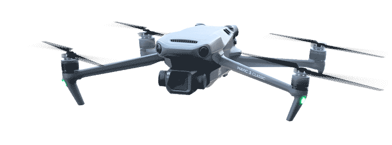
Our certified remote pilot crews operate two complementary platforms — RTK multirotor drone and Intellipod ULM — to cover all project types, from small agricultural plots to national-scale territorial surveys.
Each mission follows a rigorous protocol: requirements specification, automated flight plan, certified acquisition, photogrammetric processing and delivery of usable GIS data within 24 to 48 hours.
Contact us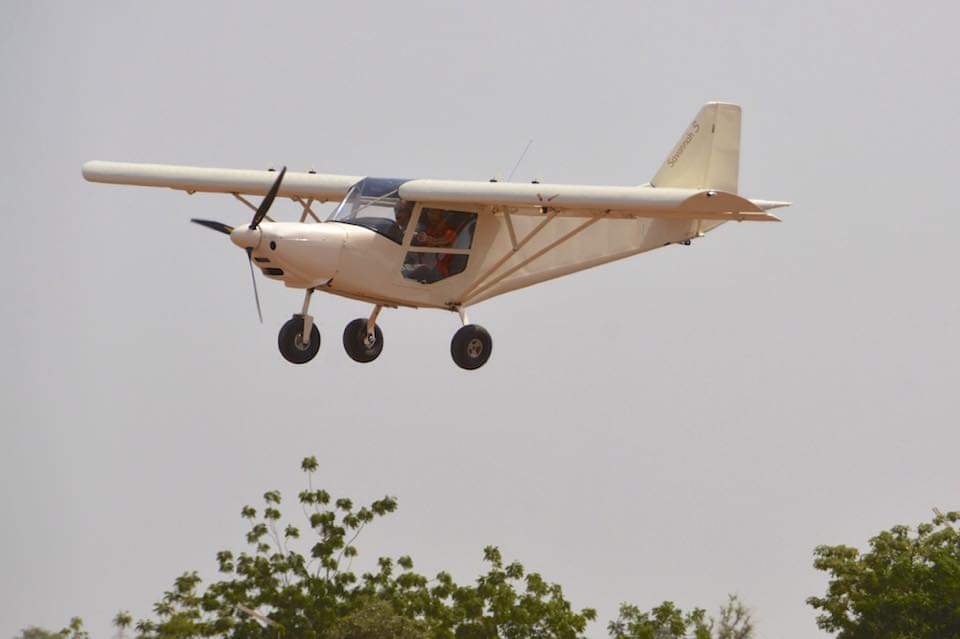
Our missions
Fields of application
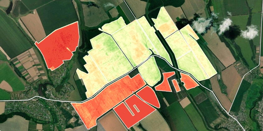
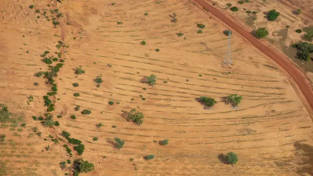
Precision agriculture
NDVI parcel mapping, crop monitoring, irrigation management and cultivated area calculations.
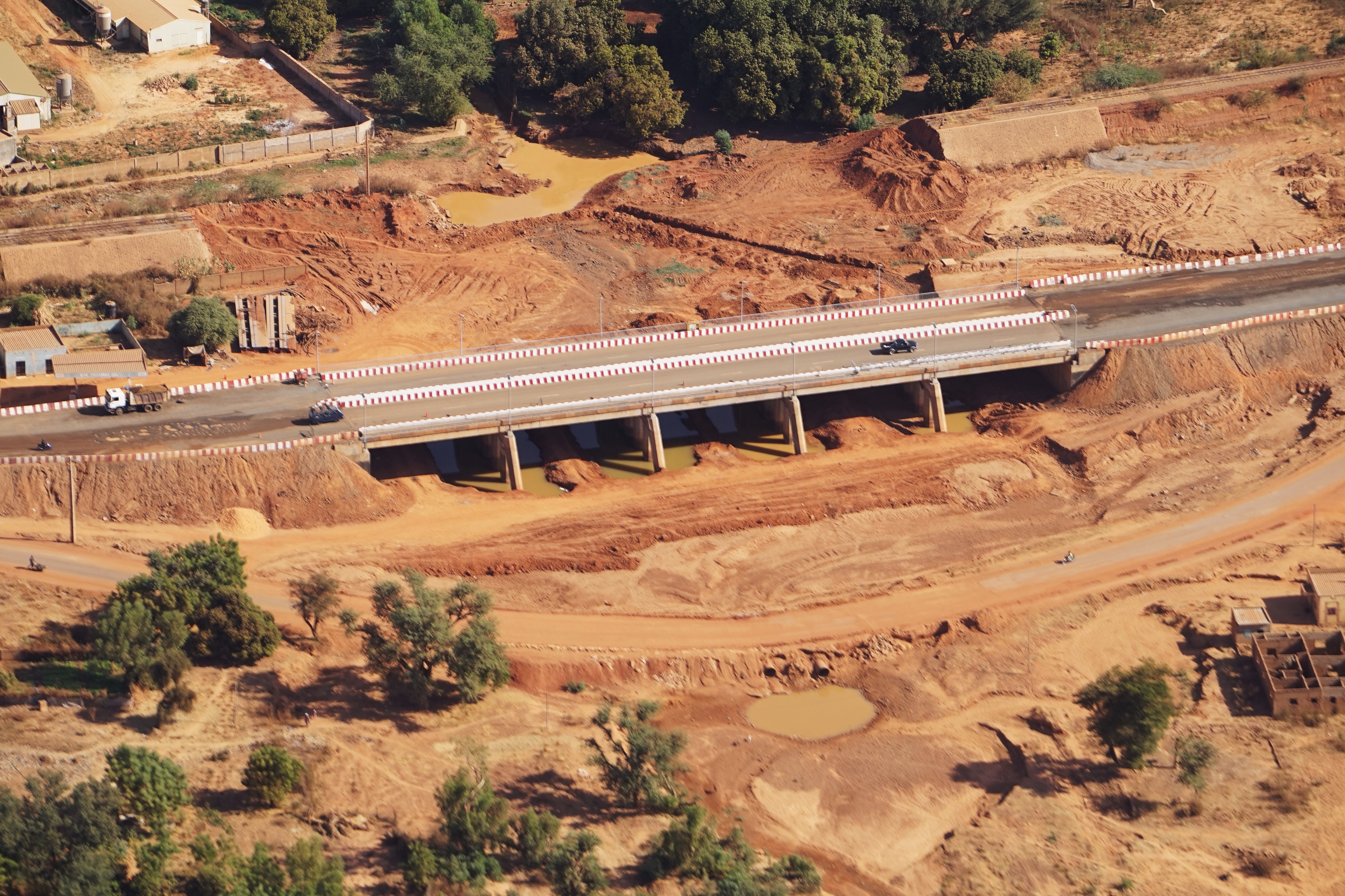
Construction & infrastructure
Site monitoring, earthwork volumes, topographic surveys and structure inspection.
Mining & quarries
Monthly volumetric calculations, exploitation monitoring, resource management plans.
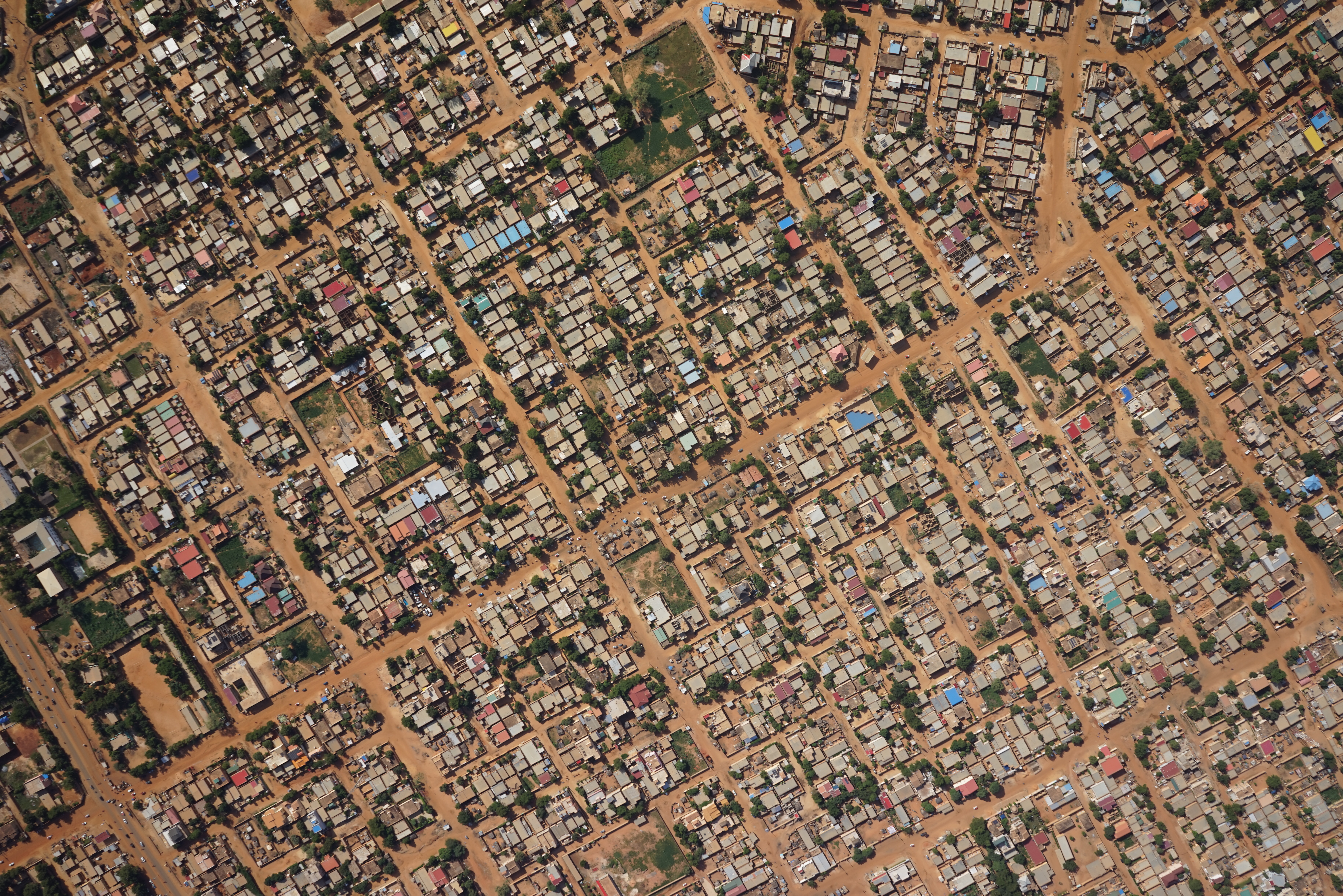
Urban planning & cadastre
Urban mapping, cadastral update and land use planning.
Environment & forests
Forest inventories, deforestation monitoring, wetland mapping.
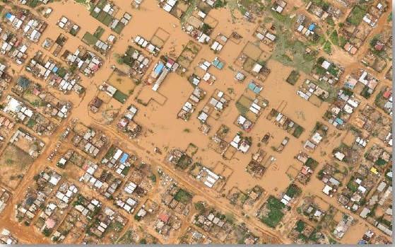
Risk management
Post-disaster mapping, flood zones, damage assessment.
Our platforms
Drone or ULM — always the right tool
An Ultra-Light Motorized Aircraft (ULM) with mass ≤ 450 kg, taking off on 200 m of runway, capable of covering entire territories in a single mission thanks to its 4 to 8 hour autonomy.
The exclusive Intellipod technology carries metric sensors and LiDAR for surveys at 150 km/h, up to 3,000 m altitude. The ideal solution for regional or national scale projects.
4–8 h
Flight time150 km/h
Cruise speed3 000 m
Maximum altitude200 m
Takeoff runwayKey strengths:
Which platform to choose?
| Criteria | Drone | ULM |
|---|---|---|
| Coverage area | 10–3 000 ha | > 3 000 ha |
| Endurance | 45 min – 2 h | 4 – 8 h |
| Precision | 1 cm/px (RTK) | 5–10 cm/px |
| Heavy sensors | ||
| Rapid deployment | ||
| Remote areas |
Have a project?
An aerial project? Let's talk.
Tell us your need: area, objective, timeline. Our team will guide you to the best-suited solution.
Contact us